
Distance Measurement – Measure Routes and Land Distance Online
Measure roads, field edges, property lines, walking paths, and site routes with FieldCalc's GPS-based distance measurement tool. Add points on the map and get a clear distance estimate for farming, surveying, construction, property checks, and outdoor planning.
FieldCalc supports farmers, surveyors, contractors, and property professionals with fast map-based measurements.
2M+
Measurements Completed

12M+
Users Worldwide

How to Use the Distance Measurement Tool
The tool connects each point in order and adds the sections together. It works for straight lines and routes with turns.
Open the map and find the location you want to measure.
Choose the point where your route starts.
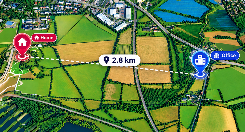
Add more points along roads, paths, boundaries, or field edges.
Move the points to follow the route more closely.
View the total distance and choose your preferred unit.
Features and Benefits
Get simple map controls, GPS support, and flexible route marking for different land and field tasks.

GPS-Based Measurement
Use your current location as a reference while working outdoors. This is useful on farms, construction sites, and open land.

Interactive Map Points
Place markers directly on the map and adjust them when needed. This helps when a route follows a road, track, fence line, or property edge.

Multi-Point Route Support
Many routes are not straight. Add several points to follow bends, corners, irregular boundaries, and longer paths more closely.

Multiple Units
View the result in common distance units without doing manual conversions. This makes results easier to use across different tasks.

Distance and Area Measurement
Some projects require both length and land size. Distance and area measurement helps you review a boundary and the space inside it.
Uses of Area Distance Measurement
Use map-based measurement for quick planning, site checks, and route estimates.

Agriculture and Farming
Farmers can check field sides, fencing lines, irrigation runs, access tracks, and the distance between key points across farmland.

Land Surveying
Surveyors can use distance measurement tools for site checks and route planning before detailed survey work.

Construction Projects
Contractors can review access routes, site lengths, work zones, and spacing before a project starts.

Property and Real Estate
Property owners and agents can measure driveways, garden paths, plot edges, and other visible features around a property.
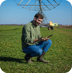
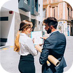
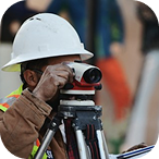


Measure routes, field edges, and property lines with GPS.
How Distance Measurement Works
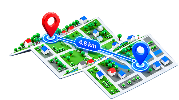
The tool measures the route between selected points on the map and combines each section to show the total distance.
A distance measurement tool uses map coordinates to calculate the length between a starting point, ending point, and any extra points added along the route. This helps measure roads, field edges, walking paths, and property boundaries more closely.
Accuracy can depend on GPS signal, map quality, device performance, and how carefully the points are placed. For legal surveys or official boundary work, professional surveying methods should be used.
Reviews and User Feedback
Users value simple controls, quick route checks, and flexible point placement.

Suresh Desai
Farmer
This makes it really easy to check distances around my property. It's quick, simple, and saves me a lot of time.

Jason Miller
Property Consultant
I use it to measure distances on the map when planning routes or checking properties. It's simple and really convenient.

Brian Carter
Land Surveyor
I like how easy it is to measure distances right from my phone. The map is clear, and I can get the information I need in seconds.

Vishal Mehta
Real Estate Agent
It's a great tool for quickly measuring distances when I'm out checking different properties. Easy to use and very convenient.
Vishal Mehta
Real Estate Agent
It's a great tool for quickly measuring distances when I'm out checking different properties. Easy to use and very convenient.
Suresh Desai
Farmer
This makes it really easy to check distances around my property. It's quick, simple, and saves me a lot of time.
Jason Miller
Property Consultant
I use it to measure distances on the map when planning routes or checking properties. It's simple and really convenient.
Frequently Asked Questions
A Distance Measurement tool helps you calculate distances between locations, routes, roads, and points on a map using GPS-based measurements.
You can measure distance on a map by selecting points along a route. The tool calculates the total length between those points and provides accurate distance results.
Yes, GPS distance measurement tools can help measure roads, routes, paths, and outdoor project distances using map-based calculations.
A GPS distance measurement tool can be used by travelers, engineers, farmers, surveyors, outdoor enthusiasts, and anyone who needs quick distance calculations.
Need to measure something else?
Try our other tools for area, radius, and coordinate measurements.